)
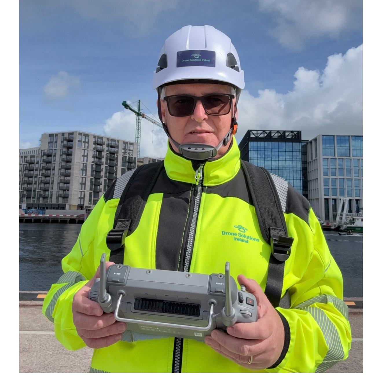
Drone Solutions Ireland is a Cork based UAV services provider specialising in high accuracy aerial inspections, mapping, and data capture for the construction, infrastructure, and environmental sectors. With over eight years of commercial drone experience, the company delivers end to end aerial solutions that enhance project efficiency, reduce operational risk, and provide clients with clear, actionable insights.
Operating under Specific Category authorisation and utilising DJI Enterprise‐grade platforms, Drone Solutions Ireland offers a comprehensive suite of services, including:
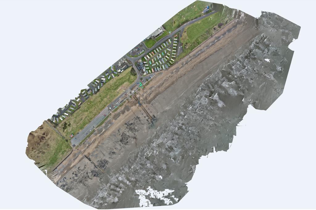
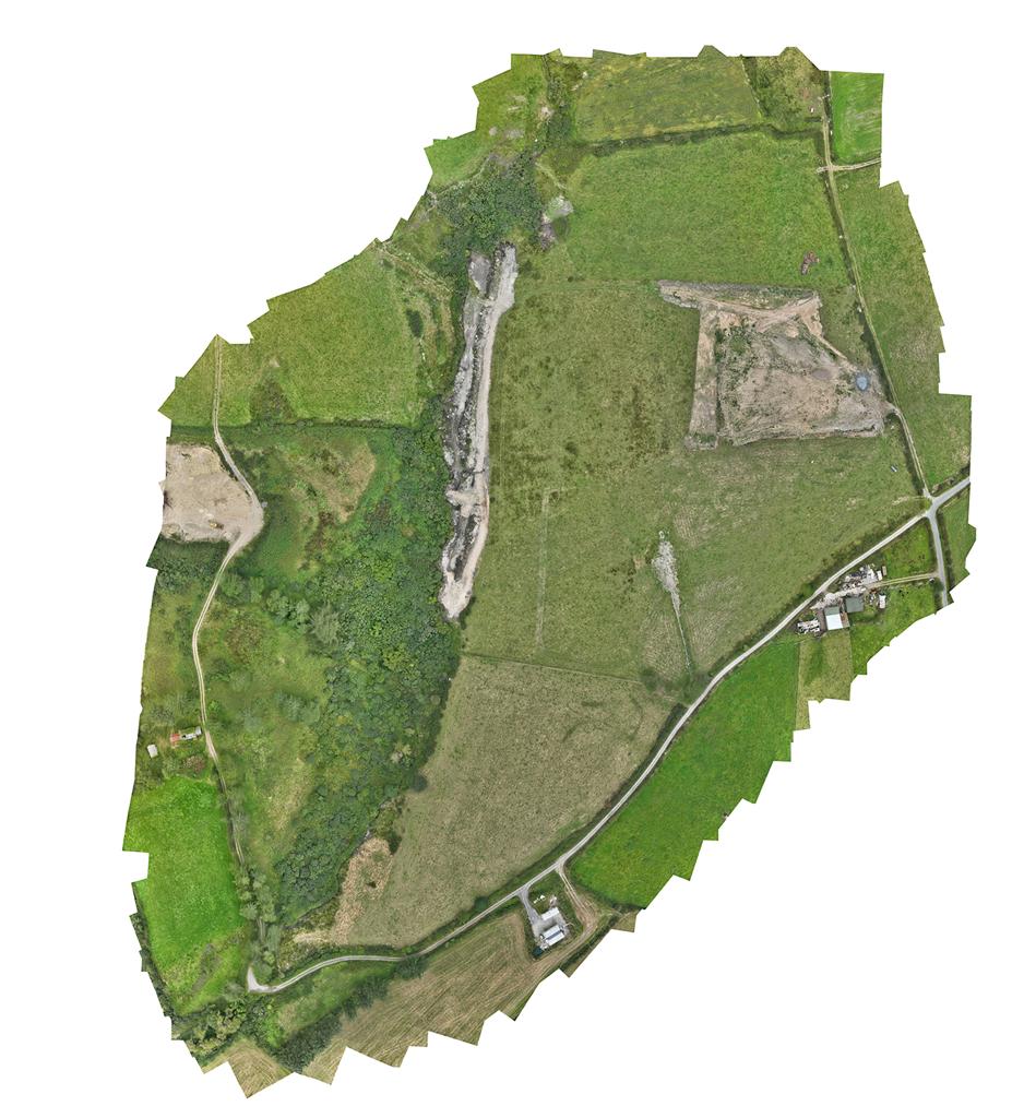
• Aerial surveying and photogrammetry for land development and progress tracking
• Construction monitoring through high‐resolution imagery, reporting, and site documentation
• Thermal imaging for roofing, utilities, energy efficiency, and renewable asset assessments
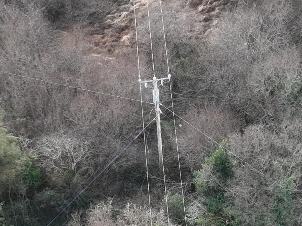
• Asset inspections for difficult‐to‐access structures, including facades, towers, and industrial sites
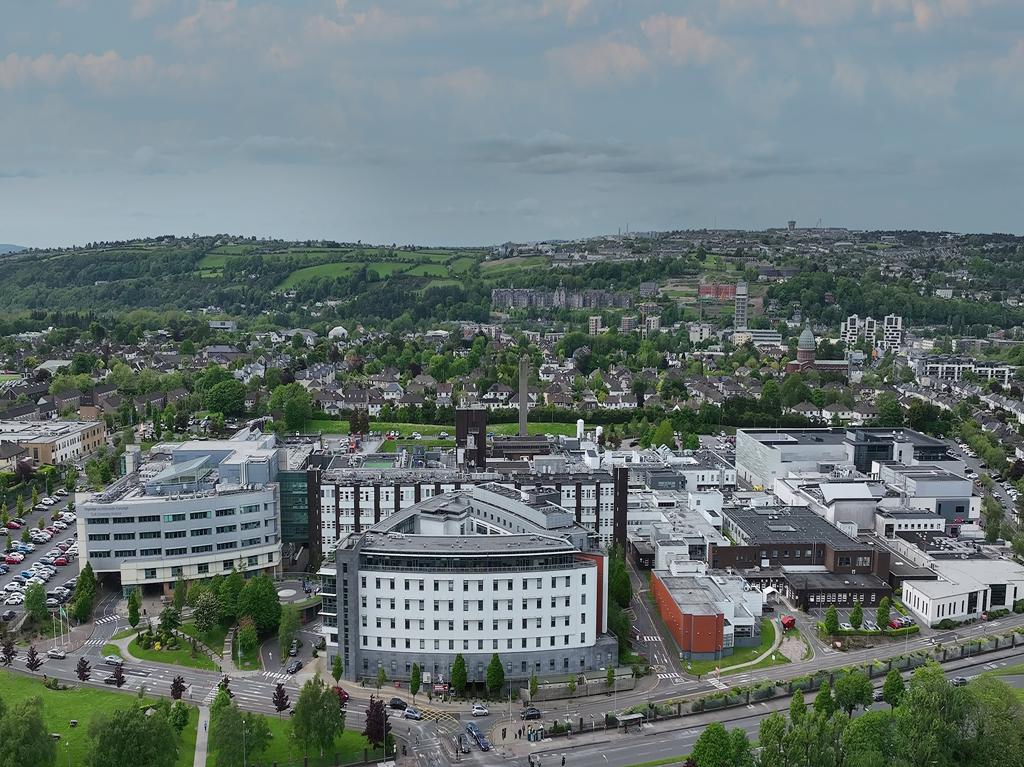
• Aerial photography and videography for marketing, project showcases, and promotional content
• 3D models, orthomosaics, and digital twins to support planning, engineering, and facilities management
The company’s mission is to provide safe, precise, and reliable aerial intelligence that helps businesses make better decisions while saving time and reducing costs. Regulatory compliance, operational safety, and consistently high data quality are prioritised across every project.
Operating nationwide from its base in Cork, Drone Solutions Ireland is committed to innovation, client‐focused service, and supporting Ireland’s construction and infrastructure sectors through advanced UAV technology and professional expertise.
Why work with us
1. Over Eight Years of Proven Commercial UAV Experience
Our operations are backed by deep industry experience, ensuring professional judgement, reliability, and consistently high quality outputs.
2. Specific Category Authorisation & Full Compliance
Clients can trust that every mission is carried out with complete regulatory compliance, proper risk assessments, and adherence to strict safety standards.
3. Advanced DJI Enterprise‐Grade Technology
You use top tier drones with high accuracy sensors, thermal imaging, and mapping capabilities, delivering data that’s more precise, more consistent, and more valuable than basic commercial platforms.
4. High-Quality Deliverables That Support Real Decisions
You don’t just provide imagery we deliver clean, clear, actionable insights through:
• 3D models
• Orthomosaics
• Progress reporting
• Thermal maps
• Inspection reports
Clients get professional-grade data they can use immediately.
5. Fast, Reliable, Nationwide Service
Based in Cork and operating across Ireland, we offer responsive scheduling, quick turnaround times, and dependable communication something many competitors struggle with.
6. Specialist Expertise in Construction Monitoring
Your strong focus on construction, infrastructure, and land development means you understand site workflows, stakeholder needs, and the importance of accuracy in reporting and documentation.
7. Safe Access to Hard to Reach or High Risk Areas
We help clients reduce risk by eliminating the need for scaffolding, working at height, and manual inspections improving safety and lowering costs.
8. End to End Service: From Flight Planning to Final Reports
Clients get one provider for planning, flights, data processing, and aerial images, streamlining procurement and ensuring consistency across all outputs.
9. Marketing-Ready Aerial Photography and Video
Professional grade aerial visuals help clients showcase developments, promote projects, and enhance their digital presence adding value beyond typical UAV services.
10. Trusted by Irish Businesses Across Multiple Sectors
Your growing portfolio and reputation demonstrate reliability, professionalism, and high client satisfaction.